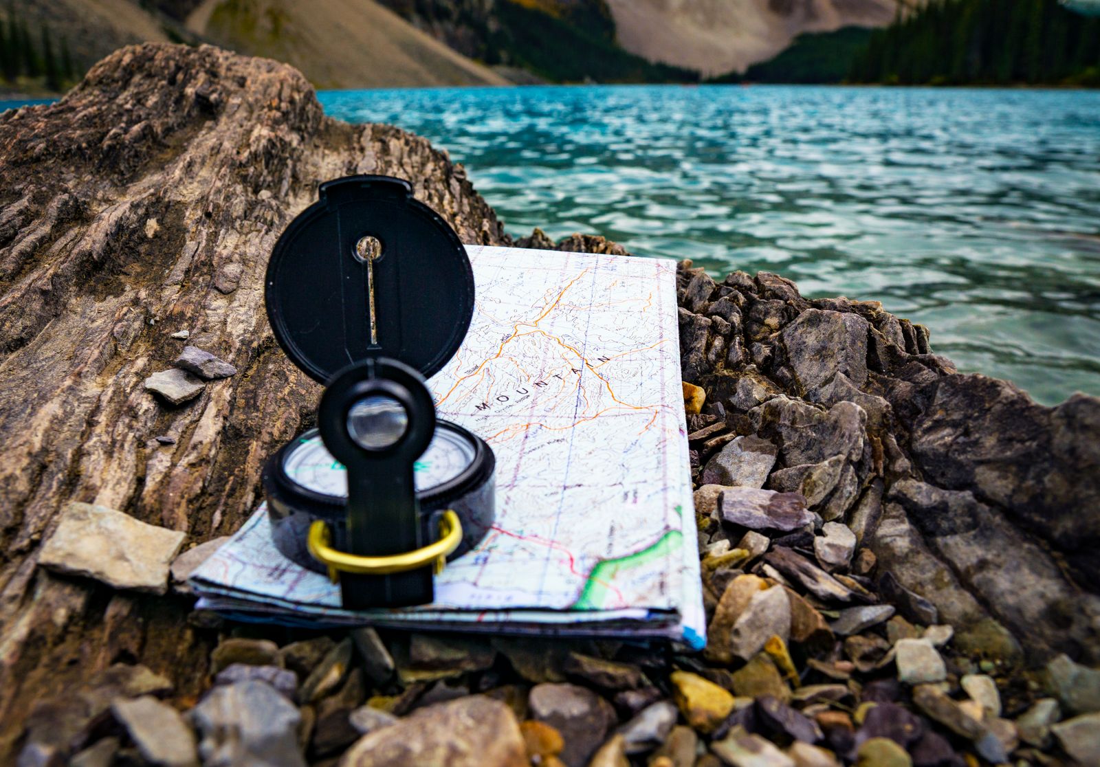
The phone dies at the worst moment
Fog drops over a ridge an hour before dusk. The trail forks at an unmarked junction, both paths look used, and the phone that was supposed to settle the question went black twenty minutes ago. Cold drained the battery, the canopy killed the signal long before that, and now the screen is a mirror. The only tools left are the ones that do not need a charge: a paper map, a compass, and the sky overhead.
GPS is precise and convenient, and it fails in predictable ways. Lithium batteries lose capacity fast in the cold. Tree cover and deep canyons block the line of sight to satellites. Remote terrain has no cell signal to assist a fix. A dropped phone ends it entirely. Analog navigation is the backup because it has none of these failure modes: a map does not run out of power, and a compass needle does not need a tower.
A map does not run out of power, and a compass needle does not need a tower.
Reading a USGS topographic map
The standard backcountry sheet in the United States is the USGS 7.5-minute quadrangle at a scale of 1:24,000. That ratio means one unit on the map equals 24,000 of the same unit on the ground: one inch on the paper is roughly 2,000 feet of terrain. According to USGS, these quadrangles have been the primary civilian map series since the agency was founded in 1879, and the current US Topo product is built from the same 7.5-minute framework using GIS databases.
The brown squiggles are the whole point. Each contour line connects points of equal elevation, and the vertical distance between adjacent lines is the contour interval, printed in the map's margin (commonly 40 feet on a 1:24,000 sheet). Lines packed tightly together mean steep ground; lines spread far apart mean a gentle slope. Closed loops mark hilltops, and contours that bend into a tight V point uphill along a drainage, which is how a stream valley reveals itself on paper.
Read those shapes as terrain features. A series of nested loops is a peak. A line of Vs pointing uphill is a gully or creek; the same Vs pointing downhill mark a ridge. A low gap between two high points is a saddle. Learning to see the three-dimensional land in the two-dimensional pattern is the skill that makes everything that follows possible.
The parts of a baseplate compass
A baseplate compass is a clear plastic rectangle with a rotating dial, and a navigator only needs to learn six parts. The baseplate is the transparent body, edged with a ruler for measuring map distances. Printed on it is the direction-of-travel arrow, which points the way once a bearing is set. The rotating bezel, or housing, is the dial marked 0 to 360 degrees that turns against the baseplate.
Inside the housing sit the moving and fixed pieces that do the work. The magnetic needle floats freely and always swings toward magnetic north; its red end is the one that matters. The orienting arrow is the outline printed on the floor of the housing, often called the shed; the index line is the fixed mark at the base of the direction-of-travel arrow where the bearing is read. Better compasses add an adjustable declination scale so the offset can be set once and forgotten.
True north, magnetic north, and declination
A map is drawn to true north, the geographic pole. A compass needle does not point there. As NOAA NCEI describes it, the needle aligns with the horizontal component of the local magnetic field, and the angle between magnetic north and true north is the magnetic declination. Ignore that angle and a bearing can be off by enough to miss a valley entirely over a few miles.
The correction depends on the sign. NOAA NCEI treats east declination as positive and west as negative, and gives the conversion plainly: the true bearing equals the magnetic bearing plus the declination. East declination is added to a compass reading to get the true bearing; west declination is subtracted. A common field mnemonic runs the other way, east is least, west is best, for converting a true bearing from the map into a compass bearing to walk, where east is subtracted and west is added. The cleanest fix is a compass with an adjustable declination scale, set once so the math disappears.
Two facts make declination non-negotiable. It varies by location, ten degrees or more in opposite directions across the lower 48, and because the magnetic field drifts, it changes over time. NOAA NCEI publishes the current value for any point and date through its declination calculator, and a sheet printed years ago may list a figure that has since moved. Check the current declination before a trip, not the number in the map margin.
East declination is added to a compass reading; west declination is subtracted. Get the sign wrong and a few miles becomes the wrong valley.
Orienting the map and taking a bearing
Start by orienting the map to the ground. Set the compass flat on the map with its edge along a north-south grid line, turn the whole map and compass together until the needle's red end sits inside the orienting arrow, and the paper now matches the world: the mountain on the sheet lines up with the mountain on the horizon. This single move converts an abstract drawing into a model of the surrounding terrain.
To take a bearing to a destination, lay the compass edge on the map as a straight line from current position to the target, with the direction-of-travel arrow pointing toward the target. Rotate the housing until its grid lines run parallel to the map's north-south lines and the orienting arrow points to map north. Read the number at the index line; that is the bearing. To follow it on the ground, hold the compass level and turn the whole body until the red needle drops into the orienting arrow, the alignment named by the phrase red in the shed. The direction-of-travel arrow now points the way; sight a distant landmark on that line, walk to it, and repeat.
Terrain association, handrails, and resection
Precise bearings matter less when the land does the navigating. Terrain association means matching what the map shows to what the eye sees, a saddle here, a steep drop there, so position is confirmed by features rather than a needle. A handrail is a long linear feature such as a river, ridge, road, or trail edge that runs in the direction of travel; following it requires almost no compass work. A catching feature is a backstop beyond the destination, a stream, a cliff band, a road, that signals the target has been overshot, turning a miss into a known correction instead of a guess.
When position is genuinely unknown, resection fixes it from the landscape. Identify two recognizable landmarks on both the map and the ground, ideally far apart in angle. Take a bearing to the first, convert it to a map bearing, and draw the back-bearing line from that landmark across the map. Do the same for the second. Where the two lines cross is the current position. A third landmark adds a check: three lines should meet near a single point, and a large triangle between them warns that one bearing is wrong.
Finding direction from the sun and stars
With no compass at all, the sun gives a working direction by day. The shadow-stick method is the steadiest version: push a stick upright into level ground, mark the tip of its shadow with a stone, wait fifteen to twenty minutes, and mark the new shadow tip. Because the sun travels east to west, the shadow tip moves west to east, so the first mark is west and the second is east. A line between the two runs roughly east-west, and a perpendicular to it points north-south.
An analog watch gives a quick estimate in the Northern Hemisphere. Hold the watch flat and point the hour hand at the sun; the point halfway between the hour hand and the 12 marks south. The method assumes solar time, so adjust for daylight saving by using the 1-o'clock position instead of 12, and treat the result as approximate.
At night the stars beat any watch trick. Find the Big Dipper and locate the two stars at the end of its cup, the pointer stars. Follow the line they make outward about five times the distance between them and it lands on Polaris, the North Star. Polaris sits very nearly over the geographic North Pole, so facing it is facing true north, with no declination correction required. It is a modest star, not the brightest in the sky, but it barely moves all night while everything else wheels around it.